Cork Airport (ORK)
Orientation and Maps
(Cork, Ireland)
With a population of around 125,000 people, the city of Cork enjoys a southerly position, on the coastline of the Ireland. Cork is the number two city in the whole of the Republic of Ireland and is centred around the River Lee. The greater metropolitan area of Cork encompasses a number of surrounding villages and suburbs, and has a combined population approaching 300,000.
The Republic of Ireland's third airport in terms of traffic, Cork International Airport (ORK) can be found on the southern side of the city. Serving in excess of two million passengers per annum, Cork Airport is used by a number of major airlines, with both Aer Arann and Aer Lingus being amongst most prominent.
Cork International Airport (ORK) Maps: Important City Districts
Cork is surrounded by the meandering estuary of the River Lee and was once a swampy marshland. The very city centre is sandwiched between two parks on the river and is divided into three notable districts. Known as the 'Flat of the City', the heart of downtown Cork is based around St. Patrick Street, an important artery lined with numerous local shops and eateries. Other highlights in this part of Cork include the South Mall, which is an important area of commerce, and Grand Parade, where you will find the remains of the city's historic old walls.
The city's North Bank district can be reached across St. Patrick's Bridge and is a fairly hilly neighbourhood, with some pavements on St. Patrick's Hill being so steep that they actually have areas of steps. However, the climb is well worth the effort and the views from here are exceptional. Notable areas of the North Bank include MacCurtain Street and Summerhill Road.
On the southern side of Cork's River Lee, the South Bank district is home to St. Finbar's Cathedral. Built on the site of an ancient religious monastery, the current cathedral building dates back to the 1870s and is known for its stunning gardens and nearby remains of city walls.
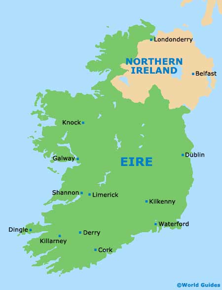
Ireland Map


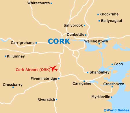
Cork Map


